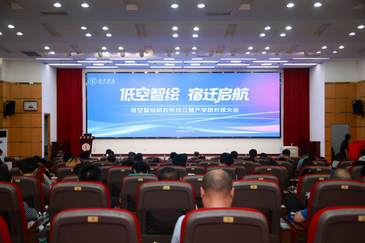
On June 27, theInauguration of Low-Altitude Intelligent Mapping Research Institute and Industry-University-Research Matchmaking Conferencewas successfully held at Suqian University. Under the theme“Low-Altitude Intelligent Mapping Setting Sail in Suqian”, this event built an innovation platform for the integration of industry and education in the low-altitude economy sector.
Ding Hongyan, Member of the Standing Committee and Vice President of Suqian University; Deng Yunlan, Member of the Party Committee and Secretary of the Commission for Discipline Inspection of Jiangsu Provincial Surveying and Mapping Engineering Institute; Tian Xianfeng, First-Class Senior Police Officer of Suqian Public Security Bureau and President of Suqian UAV Application Association; Hu Wei, Vice President of Shanghai Huace Navigation Technology Co., Ltd., and other leaders from enterprises, local authorities and the university attended the event.
In her address, Vice President Ding Hongyan emphasized that against the background of booming low-altitude economy, the university adheres to its orientation oflocal and application-oriented education. Relying on the Surveying and Mapping Engineering major of the School of Civil Engineering and Architectural, the university closely aligns with the practical needs of the low-altitude economy industry, promotes interdisciplinary research and applied talent training, and deepens cooperation with enterprises and local authorities in low-altitude economy, contributing university intelligence to the development of Suqian’s low-altitude economy.
Three important plaque-unveiling ceremonies were held at the event:
Vice President Ding Hongyan and Luo Xuanxuan, Deputy General Manager of Suqian Transportation Industry Group Co., Ltd., jointly inaugurated theLow-Altitude Intelligent Mapping Research Institute.
Jiang Lianjie, Deputy Director of the Academic Affairs Office of Suqian University, and Fan Hang, Training Director of Shanghai Xinsu Aviation Technology Co., Ltd., inaugurated theCivil UAV Pilot License Training Center.
Zhu Fangzhi, Dean of the School of Civil Engineering and Architectural, and Luo Yanbing, General Manager of Shanghai Konglian Zhihang Technology Service Co., Ltd., inaugurated theEnterprise Training Base.
During the donation ceremony, seven enterprises including Shanghai Huace Navigation (valued at 2 million yuan), Guangzhou South Surveying and Mapping (650,000 yuan) and Nanjing Beidou HengHan (600,000 yuan) donated UAV equipment and photogrammetric teaching systems worth a total of3.9 million yuan.
At the event, Suqian University signed strategic cooperation agreements with 9 enterprises and public institutions, and industry-university-research cooperation agreements with 2 enterprises, establishing a collaborative innovation mechanism featuringjoint talent cultivation, joint technical research and shared achievements.
Enterprise representatives from Shenzhen Pegasus Robot, Shanghai Shuangying Aviation and other companies shared application cases in low-altitude remote sensing monitoring, UAV inspection and other fields, providing practical references for industry-university-research cooperation. A collaborative development model ofgovernment guidance, university support and enterprise leadershipwas formed, laying a solid foundation for stimulating regional innovation momentum and promoting the high-quality development of the low-altitude economy as an emerging industry.
This event was co-sponsored by Suqian University, Suqian Association for Science and Technology, and Suqian Transportation Industry Group Co., Ltd., and undertaken by Jiangsu Provincial Engineering Research Center of Prefabricated Building and Intelligent Construction, Industrial College of Intelligent Construction of Suqian University, Suqian Civil Engineering and Architecture Society, etc. It was also supported by the Geodesy and Location Service Committee of Jiangsu Society of Surveying, Mapping and Geoinformation, Jiangsu Provincial Surveying and Mapping Engineering Institute, Suqian Public Security Bureau and other institutions.
More than 200 people attended the event, including leaders from the University’s Office of Science and Technology, Academic Affairs Office, Local Service Office, representatives of enterprises and public institutions, as well as teachers and students from relevant schools.